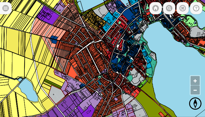
 A geographic information system (GIS) integrates software, hardware and data for capturing, analyzing, managing and displaying all forms of geographically referenced information.
GIS allows us to view, understand, question, interpret, and visualize data in many ways that reveal relationships, patterns, and trends in the form of maps, reports, and charts.
A GIS helps you answer questions and solve problems by looking at your data in a way that is quickly understood and easily shared.
GIS technology can be integrated into any enterprise information system framework.
GIS benefits organizations of all sizes and in almost every industry. There is a growing awareness of the economic and strategic value of GIS. The benefits of GIS generally fall into five basic categories:
- Cost Savings and Increased Efficiency
- Better Decision Making
- Improved Communication
- Better Recordkeeping
- Managing Geographically
